Check Services

Nulla consequat massa quis enim. Donec pede justo, fringilla vel, aliquet nec, vulputate eget, arcu.

In enim justo, rhoncus ut, imperdiet a, venenatis vitae, justo. Nullam dictum felis eu pede mollis pretium. Integer tincidunt. Cras dapibus. Vivamus elementum semper nisi. Aenean vulputate eleifend tellus. Aenean leo ligula, porttitor eu, consequat vitae, eleifend ac, enim. Aliquam lorem ante, dapibus in, viverra quis, feugiat a, tellus.

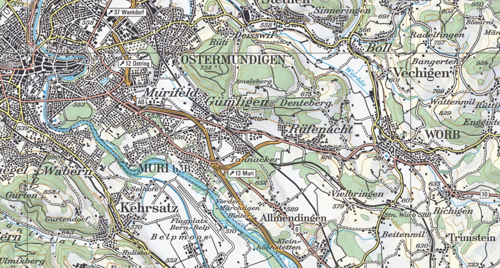
Kartenausschnitt

INTERLIS is a conceptual modeling language designed to ensure long-term compatibility between different systems. INTERLIS is software and system independent.

The most currently used version is INTERLIS 2, version 2.3.

INTERLIS - who is behind it?

COGIS (Coordination, Geo-Information and Services) is the guardian of the formal language INTERLIS and provides the necessary information and documents. The activities of the Federal Administration in the field of geoinformation (GI) and geoinformation systems (GIS) are also coordinated by COGIS. See swisstopo (COGIS)

You can find our contact details here.

Login